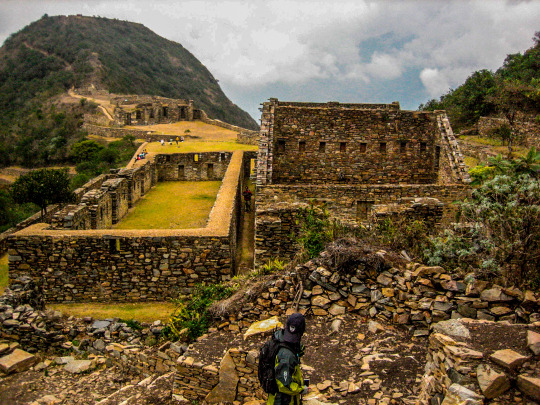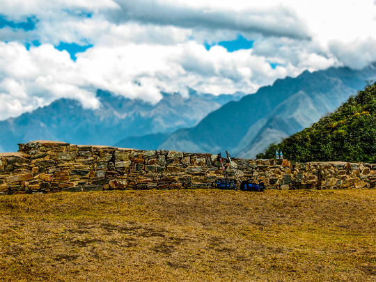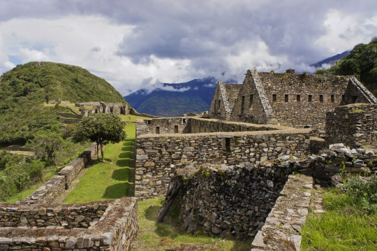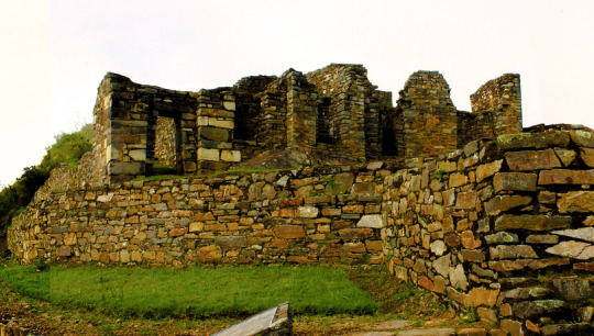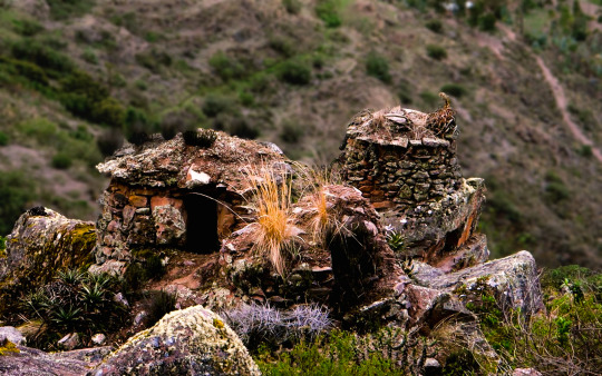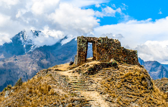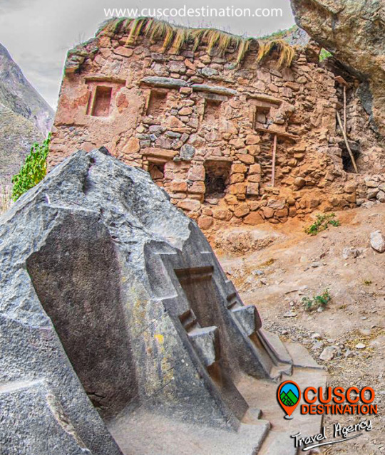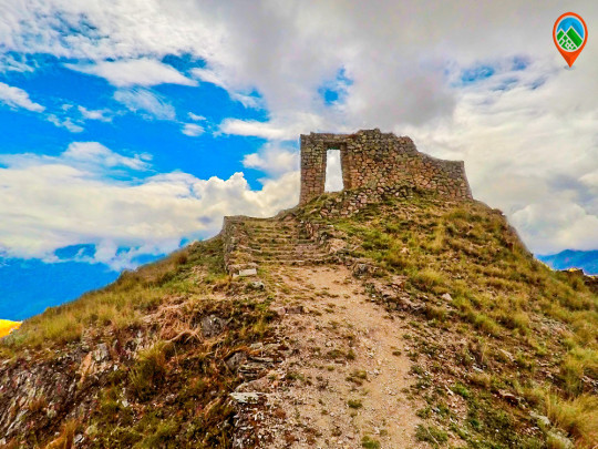
The construction of Choquequirao is the work of the successors of the Inca Pachacútec, Túpac Inca Yupanqui (1471 - 1493) and Huayna Cápac (1493 - 1527). In the place, domestic and ceremonial ceramics of the classic Cuzco style were used, as well as others, typical of the population that moved to build and populate the site permanently, probably farmers experienced in building and exploiting agricultural platforms in eyebrow areas jungle.
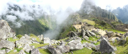
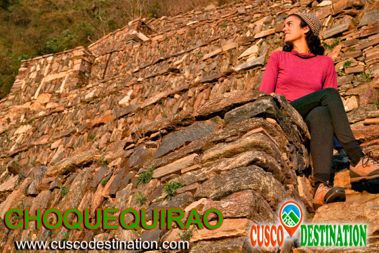
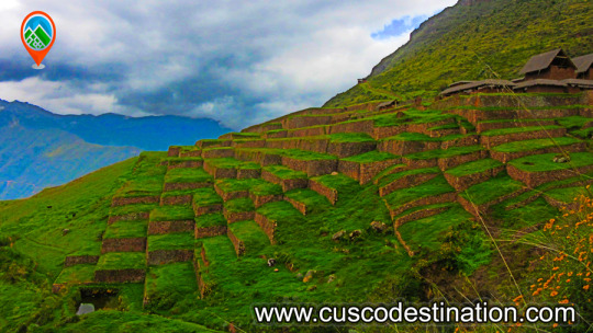
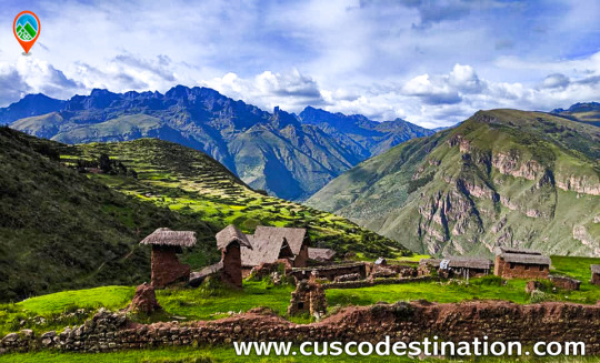
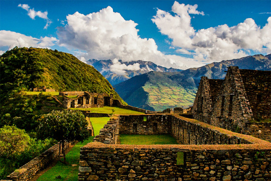
Approximately 40% of the Inca ceremonial center of Choquequirao is free of vegetation and restoration and enhancement work is currently being carried out. The remaining area is formed by a complex system of platforms built on very steep slopes. A short time ago, an impressive 180-platform staircase has been located that descending from one of the flanks of the ceremonial center reaches the river, where it is possible to swim.
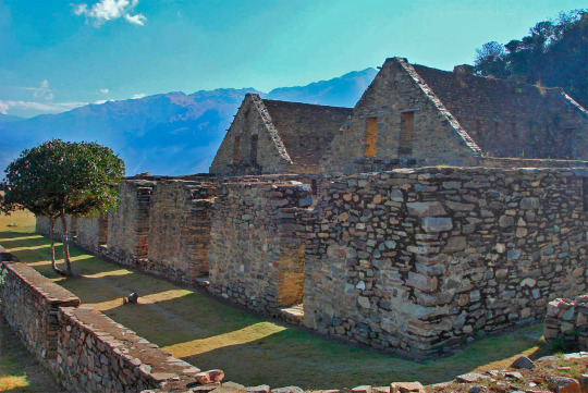
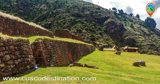
Choquequirao was possibly one of the entry control points to the Vilcabamba region, and as such an administrative nucleus with political, social and economic functions. In its urban conception it followed the symbolic patterns of the imperial capital with places of worship dedicated to the Sun, ancestors, land, water and other divinities, royal residences, houses of administrators and artisans, warehouses, large dormitory buildings or Kallancas and agricultural platforms of the Inca and the town. The ceremonial area extends over 700 meters, with a level difference of up to 65 meters between the main square and the highest parts.
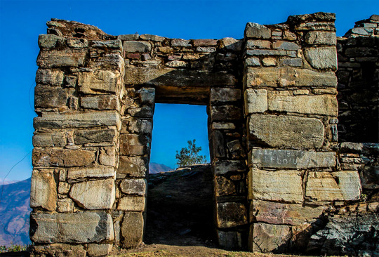
The complex consists of nine stone architectural groups and a system of 180 platforms, apart from the areas of residential, administrative, craftsman, irrigation system, among other buildings built on a stone base.
The sectors that are defined by the topography of the place had different functions and communicated through pedestrian access to the main square. You can see a complex hydraulic system probably designed for domestic, ceremonial and agricultural use.
Given the geographical location of Choquequirao, compared to other complexes of the same period, it seems that it had the function of being an Inca enclave towards the hot valleys of the Apurimac River. Its inhabitants dedicated to intensive agriculture and performed ceremonies where water was an important element of worship. In addition, it was a storage place for various products from other areas, as well as a connection between the valleys of Apurimac, Vilcabamba and Vilcanota.
Choquequirao is located on the border of the department of Apurímac and Cuzco, the archaeological site of Choquequirao was not built to be a place that is accessed as if in passing, and now reaching it demands two days of disciplined march, largely offset by beauty of the landscape that accompanies the walker from his first steps.
The journey begins in Cachora (2,800 m.a.s.l.), a small town in the department of Apurimac which is reached, having departed from Cuzco, after four hours of good road (145 km asphalted and 10 km affirmed). It is there where the mule muleteers are contacted, who also act as guides. A local family offers lodging and the only phone in the town.
Walk to Choquequirao
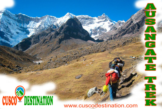
Currently the trek to Choquequirao (trekking) has become one of the best alternatives to the famous Inca Trail to Machu Picchu, with which it competes in scenic beauty and adventure. The traditional route is Cachora, Coca Masana, Rosalina Beach, Choquequirao, Raqaypata, Chikisca, Cachora. There are also walks that link Machu Picchu with Choquequirao.
Normally the adventure begins in the city of Cuzco, on a road trip of 93 km (3h 30 'by car) to the town of Cachora at 2,300 meters above sea level, and from there a 30-kilometer walk starts in 4 or 5 days, with a total of 60 kilometers, crossing areas of abundant and varied vegetation and fauna from the high Andean zone to the jungle, crossing the Apurimac river canyon.
Tour operators offer the service of guides and porters and all the logistics required for the walk. More information of Choquequirao Trek


